As of December 17, 2015 the National Oceanic and Atmospheric Administration (NOAA) updated its forecast for the effects of what may become the “strongest El Nino in recorded history” on precipitation in California for 2015/2016. The forecast, for 120% to 140% of normal precipitation in the watershed of the American River, is great news for whitewater boating in 2016!
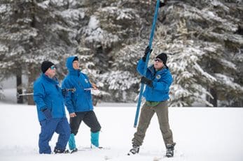
Meanwhile, cold winter storms have blanketed the Sierra over both Thanksgiving and Christmas, leaving skiers and snowboarders with the best conditions in years.
To date, snowpack in the Central Sierra is 136% of normal as compared with 45% last year at the same time. (Source: Ca. Dept. Water Resources news release Dec. 30, 2015)
Q: What does this mean for the 2016 whitewater boating season on the Forks of the American River?
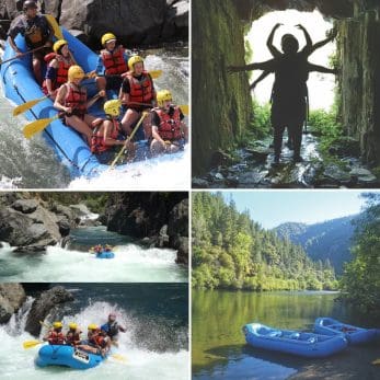
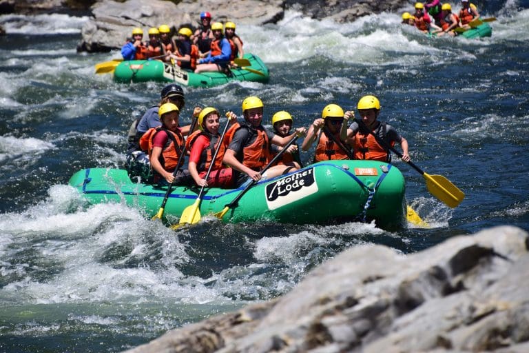
A: It may surprise you to learn that despite the drought the popularity of rafting on the South Fork of the American actually increased 5% overall during the 2015 season. If NOAA’s forecast continues to hold, there will be even more water, on more days, and much more fun on both the South and the Middle Fork of the American in 2016. The North Fork, strictly snowmelt fed with no dam control, may be runnable for the first time in years.
Q: In light of El Nino, how reliable is the NOAA forecast?
A: More reliable than ever before! There is a 90% plus probability for an above average precipitation year. Headquartered at the Pacific Marine Lab in Seattle, NOAA scientists use weather satellites, over 2500 specialized ocean buoys, historical data and supercomputers to create climate models to study El Nino, making it among the most extensively studied and best understood weather phenomena in human history!
Q: Isn’t El Nino a tropical phenomenon which is directed further south?
A: Absolutely! The extreme weather conditions so far in Southern California, the Southern United States, Central and South America are all classic El Nino. Fortunately, Central and Northern California are on the upper boundary of El Nino’s greatest influence and the forecasts are for more moderate weather in our region.
Q: El Nino is called “the Christ Child” because it peaks around Christmas. Does this mean we have dodged the bullet for flooding?
A: The peak effect is seen in Peru around Christmas. Farther north we can expect January, February and March to be closer to the peak effect. So stay tuned for updates of NOAA’s forecasts at www.elnino.noaa.gov.
Q: How big is this El Nino?
A: So far it is the second largest on record and still increasing. It is likely to be a wild ride for our southern cousins.
Q: I would like to know more. When is “the fifth season” and what do “La Nina”, the “Southern Oscillation” and an “SST anomaly” all mean? Where the heck is “Zone 3.4”?
A: All this and more are revealed in my recent blog article on El Nino. Check it out! You could also visit NOAA’s website; enjoy the updated version of Professor Brian Fagan’s classic book: Floods, Famine and Emperors: El Nino and the Fate of Five Civilizations; pick up the most recent issue of National Geographic Magazine; or Google “El Nino” on Wikipedia for more information.
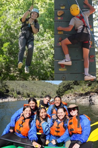
In the meantime, enjoy the best skiing and snowboarding in recent memory, check out the 10 foot rise in the level of Folsom Lake that happened overnight, and join the happy dance the MaLode river guides are doing in anticipation of the best whitewater rafting in a long time! Kayakers, prepare to party.
See you on the river,
Scott the RiverDoc and Charlie the RiverDog, both enjoying high water in Coloma!